The differences between publicly available weather data and meteo parameters measured directly on location in vineyards can be huge. Any decisions based on inadequate data can affect the growth and quality of the grapes.
In one of our previous posts, we have shown how large can variations of weather parameters be across neighboring locations, even within the same vineyard. Measurements done in the Vinarium vineyards, all grouped in a radius of 600m, have shown up to 8 degrees Celsius temperature differences.
With that information in mind, the question arises whether it is possible to rely on measurements from public weather stations, sometimes several kilometers away from the location, or on data from weather forecasts, instead of locally acquired data. To try to provide an answer we have compared publicly available meteo data with the data we have acquired from actual locations in vineyards.
But before moving to that, let’s go back for a moment. Scientists started grasping the importance of meteorological measurements during the 17th century. The first measurements in Europe in that period have been performed using mercury barometers with a copper scale and other instruments available at the time.

The thermometer was introduced a bit later. These early devices were equipped with a uniform scale and sun protection construction. Over the course of time, weather measurements became a part of everyday life and were regularly published in print media, and later in electronic media. For example, in Serbia, the daily newspaper “Politika” started publishing regular weather reports in 1912. This practice continued even during the First World War.
In parallel with measuring weather parameters, the demand for weather forecasts was emerging. The first attempts in the field of numerical weather predictions took place during the second decade of the twentieth century, but numerical calculations came to life only after WWII with the use of one of the first computers – ENIAC.
Today there are three generally accepted weather forecast models: the North American Mesoscale Model (ETA), the Global Forecasting System (GFS or MRF), and the long-term nested network model (NGM). All of these have their advantages and disadvantages and are relatively reliable for up to 72-hour weather forecasts.
As efficiency and reliability of field measurements are often deemed crucial for the accuracy of weather forecasts, the end of the 19th century brought to the market a very convenient tool: the automated weather station. Weather data have a widely accepted public importance, so each country sets up and maintains a network of publicly available, mostly automated weather stations.
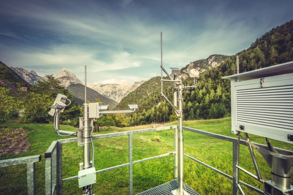
To guarantee the most accurate and reliable measurements, the weather stations have very strict deployment requirements. The measurement enclosures are mounted two meters above the ground, protected by a metal fence from animals, facing North to avoid direct sunlight. Measuring wind parameters is even more demanding, as the measurement devices need to be positioned at a height of 10 meters above the ground.

But let us get back to the data comparison. In a relative vicinity of the Vinarium vineyards, there are two publicly available automatic meteorological stations. The meteorological station in Novi Sad is located in the plains, about 24 kilometers away, while the other one in Cerevic is located 4km away, in the hilly area of Fruska Gora, making the differences even more noticeable.

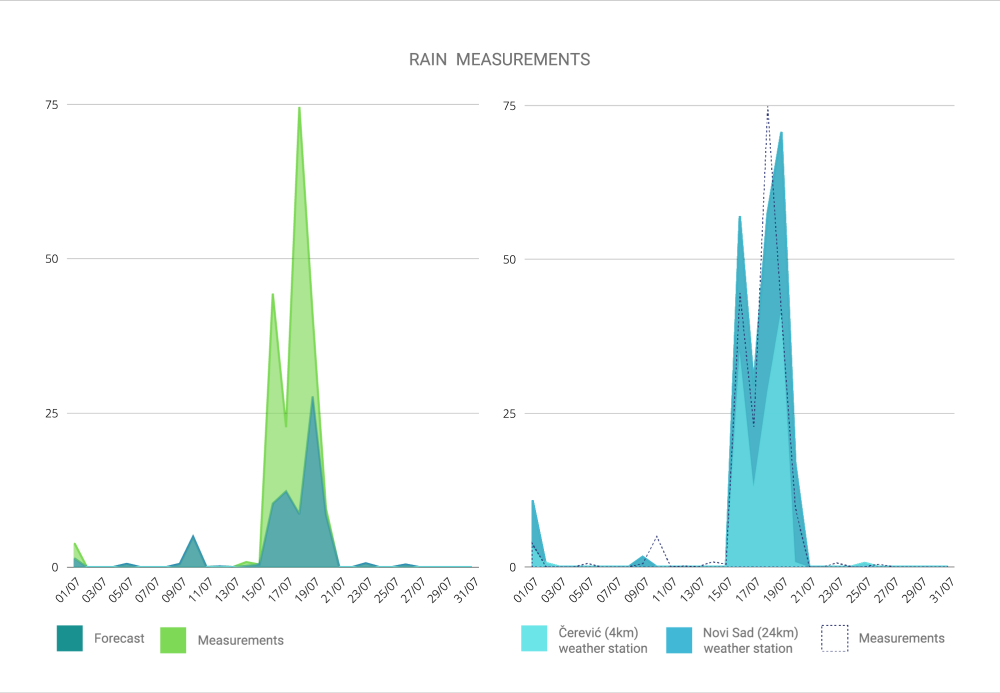
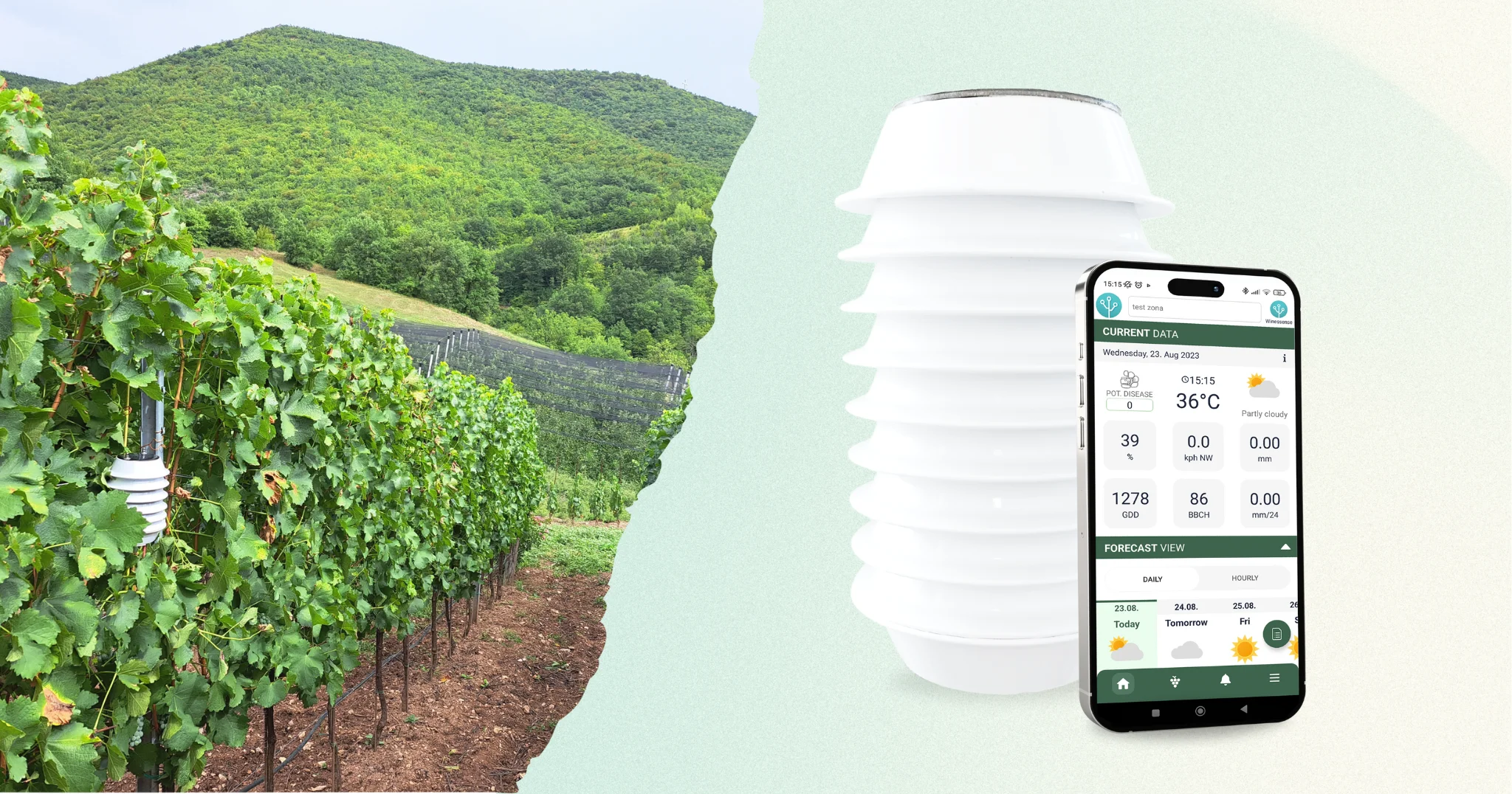
We have compared the measurements from those two stations, the data from the weather forecast, and the measurements taken at the vineyards during July 2021, provided by our Winessense platform.


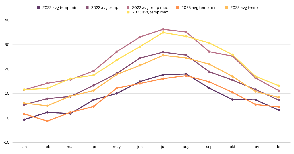
Looking at the charts it is clear that the daily temperature ranges are largely different. Similarly, the levels of precipitation differ almost in all cases, while their temporal distribution differs at least 60% of the time. This conclusion is especially important if applied to an index such as BBLI which measures the disease pressure potential. It is therefore quite risky to rely and act solely on the data from these two generally accessible sources of data using them as a reference for a very specific vineyard location. In other words, the data acquired from the exact location are almost irreplaceable.

